Satellite derived bathymetry (SDB) service
Satellite Derived Bathymetry (SDB)
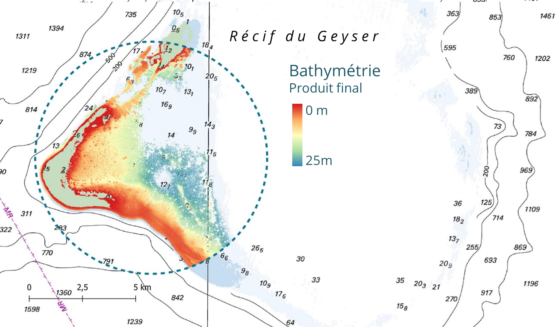
Bathysat© is an automatic or semi-automatic production chain for qualified bathymetric data of coastal areas from high-resolution multispectral or hyperspectral satellite images over large areas, with or without in situ data.
The Bathysat© solution is developed by Hytech-imaging in partnership with the French Hydrographic Service (Shom). The solution is based on the inversion of a radiative transfer model, which links the marine radiance in shallow waters to the optical properties of the constituents of the water, the seabed and the water height.
The Bathysat© processing chain incorporates an original module for the analytical propagation of sensor errors, making it possible to produce the upper and lower bounds of the uncertainty associated with the bathymetry estimate for each pixel, thus enabling the production of qualified bathymetry data.