Uses and applications
Our solutions to meet your needs
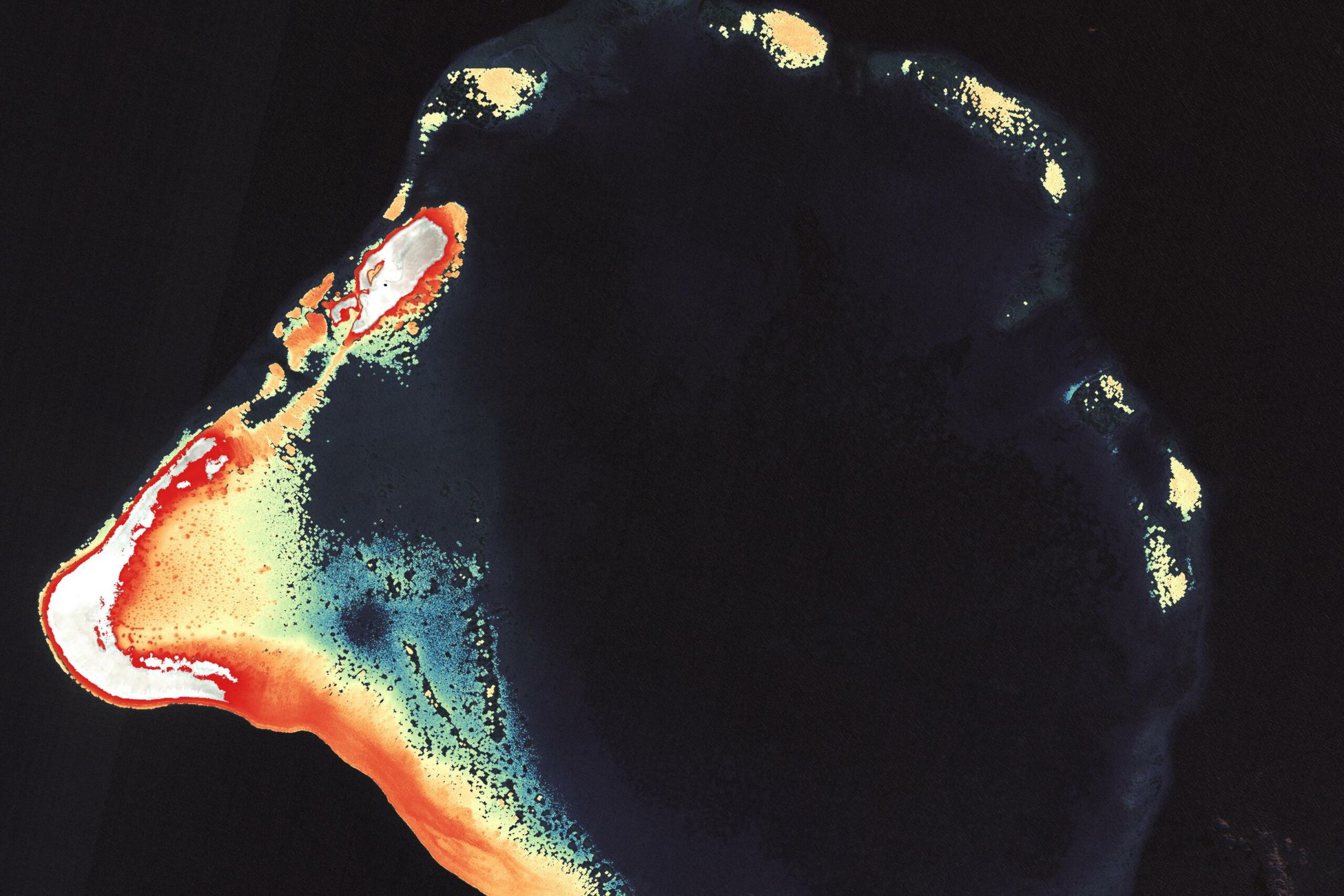
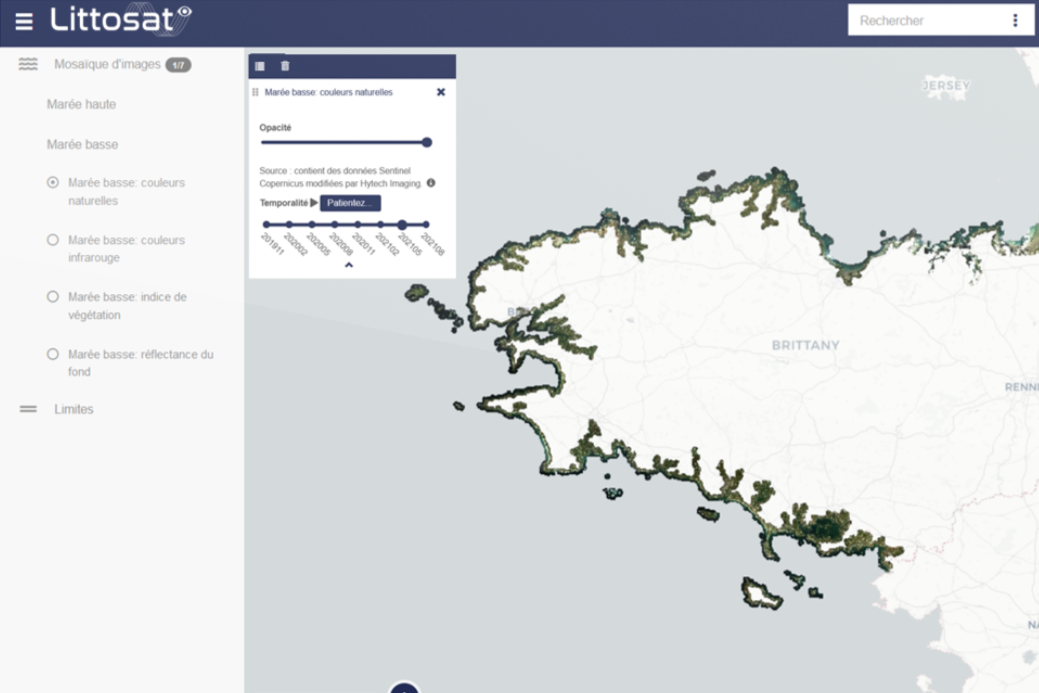
Optical hydrography
We produce bathymetric maps of coastal areas using our processing chains based on (1) aerial images: Airborne Hyperspectral Bathymetry (AHB) or (2) satellite images: Satellite Derived Bathymetry (SDB).
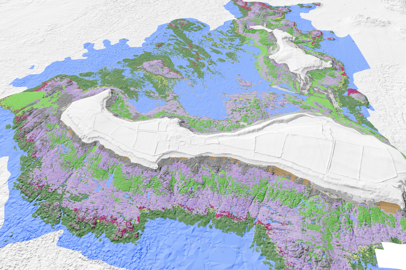
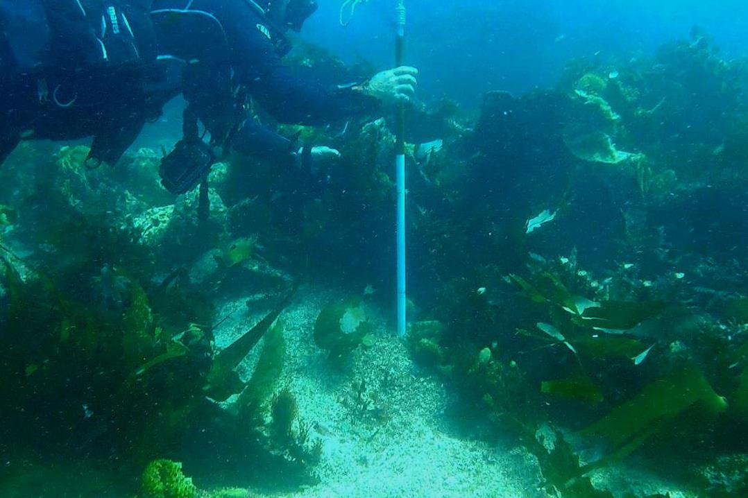
Coastal biodiversity mapping
We provide our customers with coastal biodiversity maps giving access to previously unseen information on intertidal and subtidal habitats (algal belts, seagrass beds, coral reefs...). They are based on original methods for processing hyperspectral and multispectral satellite or airborne images.
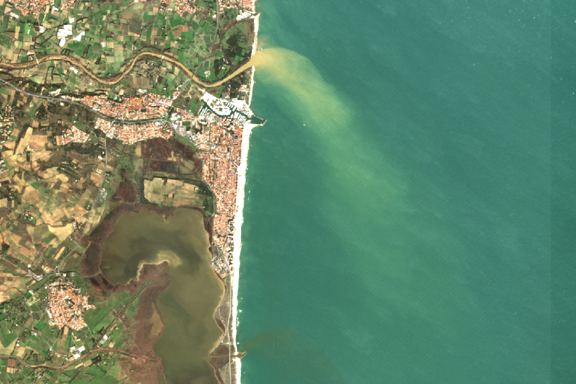
Turbidity monitoring
Using satellite images, we are developing methods for characterizing and monitoring the water column, focusing on turbidity parameters at scales ranging from ocean basins to coastal sites.
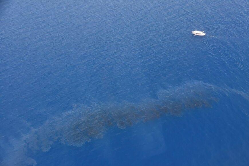
Characterization of marine pollution
We are developing methods for characterizing chemical and hydrocarbon pollution at sea using aerial and satellite hyperspectral images.
Dynamic coastal monitoring
We offer our customers web interfaces for monitoring coastal change in various fields (biodiversity, morphodynamics, erosion…).
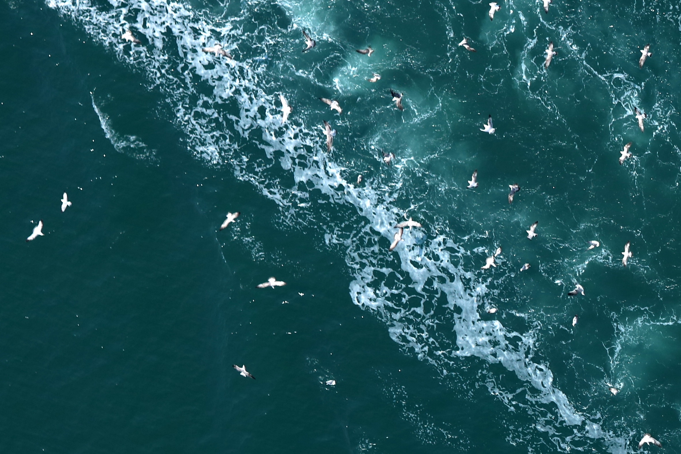
Digital observation of marine avifauna and megafauna
We operate the Stormm© system for aerial surveys of marine megafauna and avifauna. We acquire very high-resolution airborne images and develop a QGIS plugin dedicated to observers for processing and analysing these images.
Detection of archaeological sites
Our original aerial hyperspectral image processing methods enable us to detect and characterize coastal archaeological sites on land and in shallow water.
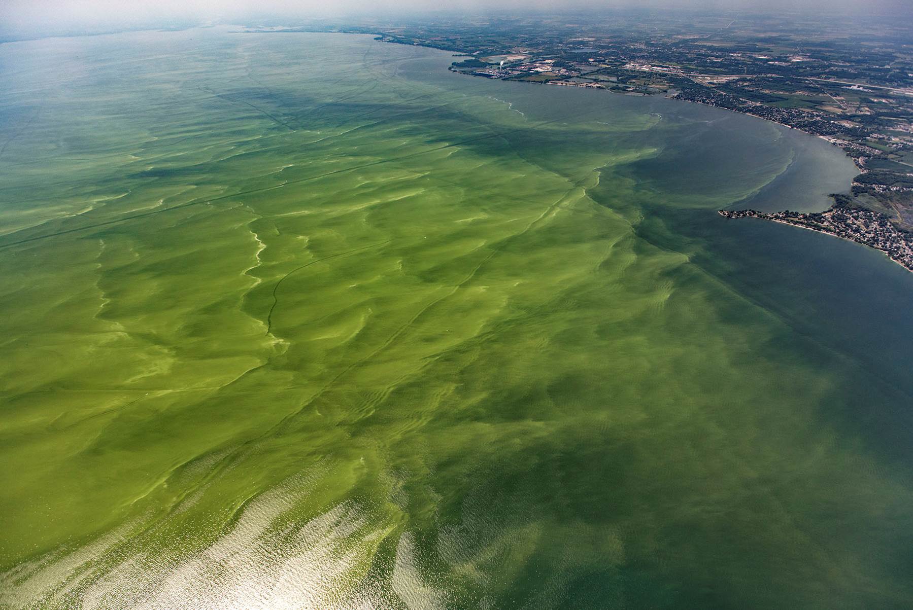
Monitoring microalgae proliferation
Algal blooms represent a major risk (health, environmental, economic) for many activities in the marine environment, particularly for the aquaculture industry. We are developing systems for the early detection and characterization of Harmful Algal Blooms (HABs) using satellite data.
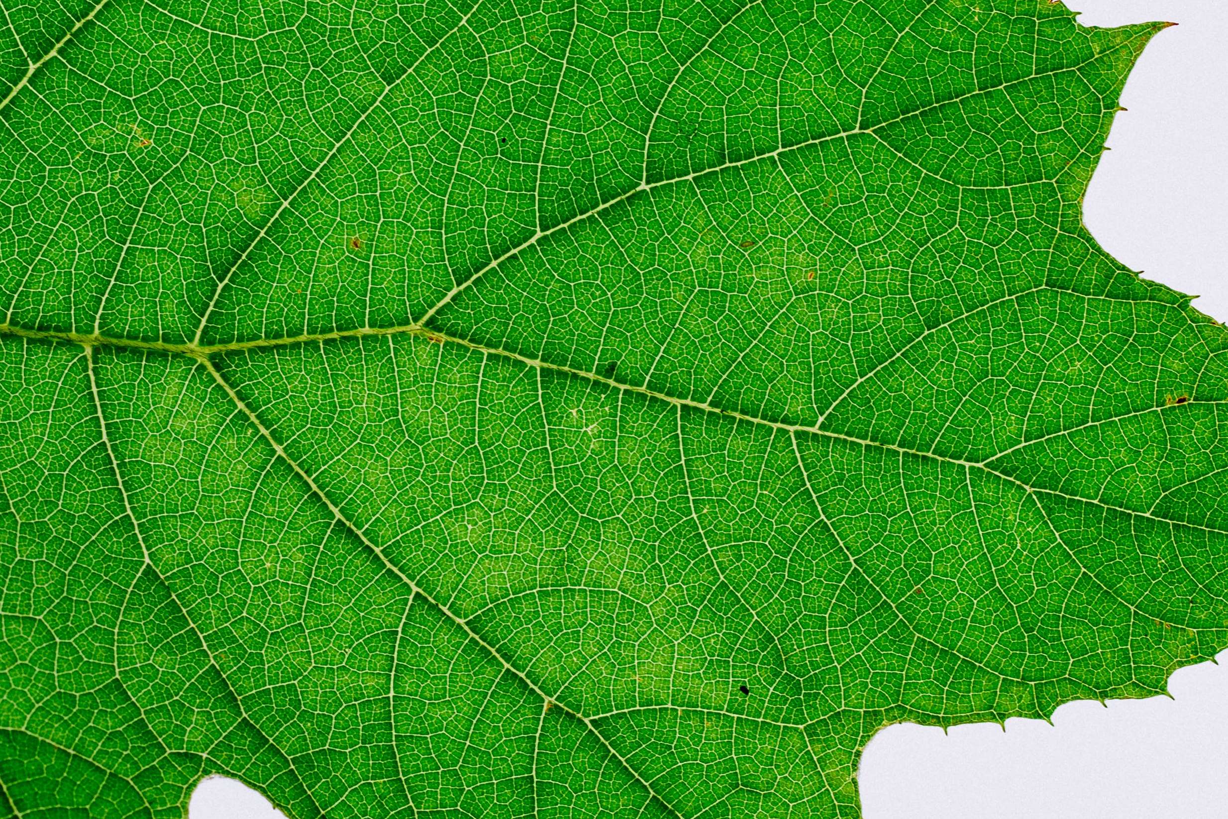
Phenotyping plant cover
We develop original methods for our customers for phenotyping plant cover using active and passive spectral imagers, on the ground or from the air.